grass
Trend Analysis
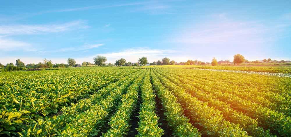
Crop Trend Analysis
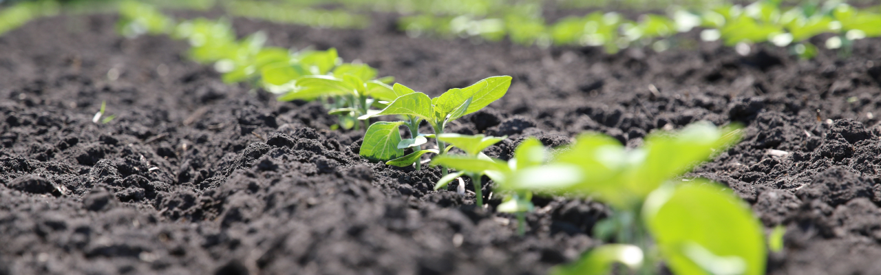
Study crop growth patterns using tools derived from satellite imagery.
Hello there! I'm Silai, your agricultural AI assistant. Tell me what's on your mind so I can give you the best expert advice.
Digital Platform
Satellite- and drone-based tools for technical personnel, researchers, and local government units — making data-driven agricultural decisions accessible and easy to use.
Select a module to begin your analysis
Study crop growth patterns using tools derived from satellite imagery.
Access rice stage analytics and draw meaningful insights using a GEE-powered platform tool.
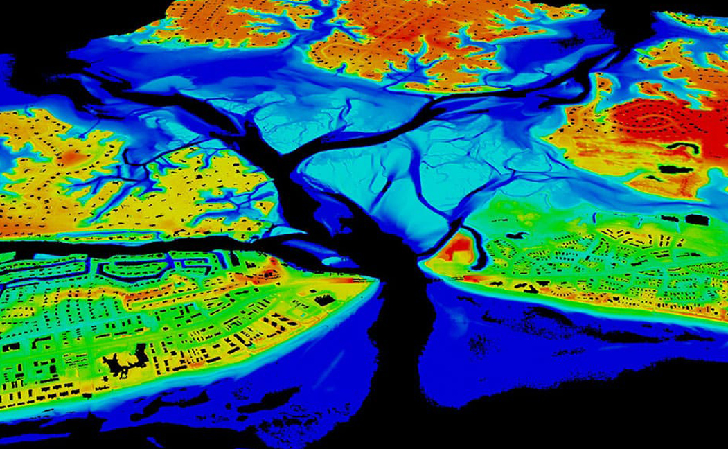
Build color maps and vegetation indices from satellite data for crop health, moisture, and field phenomena.
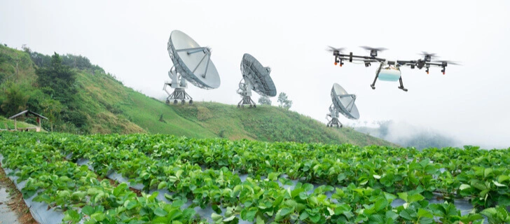
Centimeter-level spatiotemporal imagery using cutting-edge drone technology.
Drought is a big problem in Agriculture. Monitor Drought using science-based tools.
Freely access and download open datasets alongside AI-based crop delineation raster models used by our partners.